One of the best things about the spring is being able to enjoy wandering around the landscape looking at things. I did this a bit in autumn (and blogged about it) but it's right now, now that I've been here a few months, that I'm really starting to know where places are and how they connect up. Running has helped- experimental runs that end up following lanes and being a good 2km out of your comfort zone are great for landscape knowledge!
This got me thinking about building knowledge about the places where we live? How do we do this? How did people do it in the past?

Well, there's maps. Old ones and new ones. There's something really magical about the way maps work- putting down on a piece of paper not only where things are, but also what they look like and what they'll feel like for your body. You know when you see the contour lines scrunch up into an evil cluster that you will be gasping for air if you run up that hill (thanks Kate Bush). OS Maps are a pleasure, a treasure trove- hunting out the gothic writing that suggests there's something old and exciting right on that spot. But maps aren't just simple sheets of paper that you can whack in your pocket and use to find out where the nearest pub is. Maps are made by people- and people have ulterior motivations, passions and beliefs that structure how they draw out the land. OS Maps themselves are the product of the Ordnance Survey, a government sponsored project begun in the 18th century. The Ordnance Survey began as an act of colonial dominion in the aftermath of the Jacobite rebellion- a survey was made in 1747 to ensure that government forces would never be at a disadvantage in terms of knowledge of terrain. The entire country was eventually covered, and the official Ordnance Survey was founded in 1791: just in time for the Napoleonic wars. In the event of an invasion, these intricate maps would provide Britain's defenders with all the knowledge required to fight Boney's evil forces. And that's nothing compared to the politics behind medieval and early modern period maps, especially of the New World- literally carving out nations and ontologies on a piece of paper. Far more important to place Jerusalem at the centre of the world and claim all the unknown lands for Her Majesty Queen Elizabeth than to get a river in the right position.

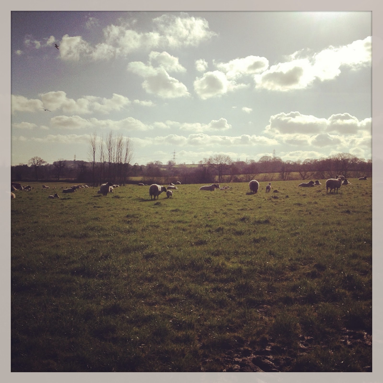
Maps are perhaps the most formal way of noting what's where. Literally moving around maps the ground into your brain perhaps more effectively. You end up remembering where things are based on experience, rather than an abstract knowledge, although sometimes the two match up. For example, I know if I go to Shore Bottom, I will meet these two and their noisy friends:


 |
| This is where I got stuck in brambles and had to be rescued. It looks so innocent now, but at the time it was NOT funny... |
Reference- this is very easy to read and a real eye opener. I love it as much as I did the first time I read it in the first year of undergraduate study.
Ingold, T. 1993. The temporality of the landscape. World Archaeology 25: 152-174.
If you'd like to read more about the social context of maps, this volume is pretty good.
Klein, B. 2001. Maps and the writing of space in Early Modern England. London, Palgrave Macmillan.
No comments:
Post a Comment
What do you think? I'd love to hear what's in your head.